School Locations
Stuart Powell Field (DVK)
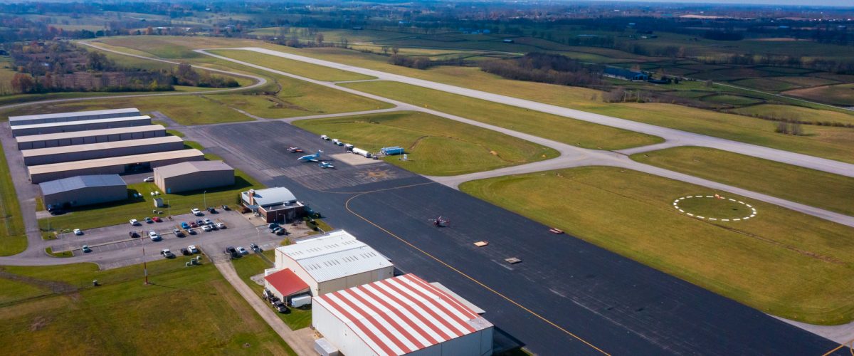
Train at the location where it all started! Located in Danville, Kentucky, the Danville-Boyle County Airport is a bustling general aviation airport featuring dual runways.
420 Airport Road | Danville, KY 40422

Operations/Comms
Elevation: 1,022'Control Tower: NoneCTAF/UNICOM: 122.8AWOS: 128.325
Runway 12/30
Dimensions: 5,000' x 75'Surface: AsphaltRunway Heading(s): - 125° Magnetic, 122° True - 305° Magnetic, 302° TrueObstructions: 42' Trees
Runway 1/19
Dimensions: 1,971' x 75'Surface: AsphaltRunway Heading(s): - 011° Magnetic, 008° True - 191° Magnetic, 188° TrueObstructions: Hangars
Blue Grass Airport (KLEX)
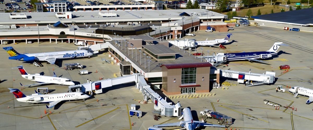
Home to our Wings Elite Cirrus Training Center, Blue Grass Field features the challenge of operating in controlled airspace in view of Kentucky’s famous horse-country.
4444-A Gumbert Road | Lexington, Kentucky 40510

Operations/Comms
Elevation: 979.3'Control Tower: YesUNICOM: 122.95ATIS: 126.3GROUND: 121.9TOWER: 119.1/257.8AWOS: 119.975
Runway 4/22
Dimensions: 7,004' x 150'Surface: AsphaltRunway Heading(s): - 046° Magnetic, 042° True - 226° Magnetic, 222° TrueObstructions: 36-54' Trees
Runway 9/27
Dimensions: 4,000' x 75'Surface: AsphaltRunway Heading(s): - 087° Magnetic, 083° True - 267° Magnetic, 263° True
Georgetown-Scott County Regional Airport (27K)
Located just east of the state capital, the Georgetown-Scott Co. Regional Airport is seated amongst numerous horse farms and serves as one of the many gateways to Kentucky’s aviation industry to the north.
6206 Paris Pike | Georgetown, KY 40324

Operations/Comms
Elevation: 947.73'Control Tower: NoCTAF/UNICOM: 123.0AWOS: 119.975
Runway 3/21
Dimensions: 5,498' x 100'Surface: AsphaltRunway Heading(s): - 029° Magnetic, 026° True - 209° Magnetic, 206° True
Capital City Airport (KFFT)
Located in the state capital, Capital City Airport is also serves as home of the Kentucky National Guard Air Support Facility and Kentucky Department of aviation – on top of being central to the bourbon trail.
88 Airport Road | Frankfort, KY 40601

Operations/Comms
Elevation: 812.5'
Control Tower: No
CTAF/UNICOM: 122.8
AWOS: 119.275
Runway 7/25
Dimensions: 5,506' x 100'
Surface: Asphalt
Runway Heading(s):
- 069° Magnetic, 064° True
- 249° Magnetic, 244° True
